Geospatial - Remote Sensing
The University of Wisconsin-Eau Claire's geospatial - remote sensing certificate provides you with foundational knowledge in geospatial technologies with a special emphasis on remote sensing. The specialized, 18-credit certificate is available to professionals in the workforce who want to further their education, as well as current UWEC students looking to add a valuable credential to their degree.
Support Sustainable Planning with Remote Sensing
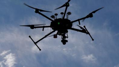
Using high-altitude satellite and aerial imagery, as well as unmanned aerial systems (UAS), you'll learn more about the earth's environmental characteristics and how to use that information to make decisions.
Curriculum throughout the program will explore the principles and techniques of collecting, processing, and extracting information from remotely sensed data to facilitate geospatial intelligence sharing in support of sustainable planning and management. An elective course in lidar (short for light detecting and ranging) will introduce you to the visualization, processing, and use of airborne and terrestrial lidar data for applications in environmental and sociocultural settings.
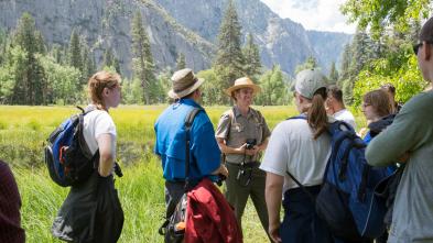
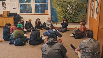
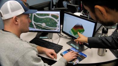
Project-based, real-world learning is a focus of the program, allowing students to learn field data collection techniques and methods, including those related to GPS and surveying, firsthand.
Program Details

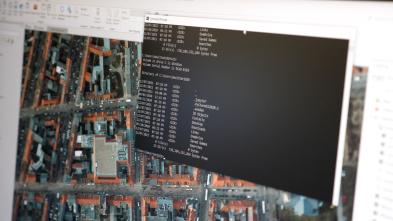
While pursuing your remote sensing certificate, you'll have the unique opportunity to work with the same tools, software, and technology professionals use out in the field today. Through field experiences, real-world projects, and cutting-edge research opportunities, you'll learn new skills, tools, and best practices in the collection and interpretation of remote-sensing images and data. It’s firsthand experiences like these that set you apart from other candidates when applying for jobs.

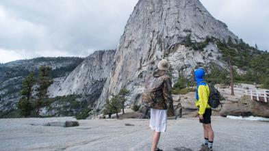
Take what you learn from our expert professors and put it to work in new, exciting locations. Countless opportunities to explore the world around you are available to you at UWEC. Whether you study abroad, partake in cultural immersion programs, participate in the National Student Exchange program, or join a student-faculty research project, you'll find ways to take your learning to the next level.
Blugold Stories


Justthe
facts
Highly specialized courses within the geospatial - remote sensing certificate will equip you with skills and credentials needed to pursue a career in remote sensing. You will have the opportunity to apply what you're learning firsthand as you preprocess optical remotely sensed data, customize suitable algorithms to extract biophysical/sociocultural information and utilize that information in a variety of geospatial contexts and problems.
Here are a few courses in Geospatial - Remote Sensing at UW-Eau Claire.
GEOG 338
Remote Sensing of the Environment
Descriptive interpretation of remote-sensing images from ground, aerial, and space platforms.
GEOG 438
Remote Sensing Data Analytics
Explores the principles and techniques of collecting, processing, and extracting information from remotely sensed data to facilitate geospatial intelligence sharing in support of sustainable planning and management.
GEOG 358
LiDAR Analysis & Applications
Introduction to the visualization, processing & use of airborne & terrestrial LiDAR data for applications in environmental & socio-cultural settings.
Get More Info
Sign up to receive additional information about our campus.
What's Next?